Travel and getting around
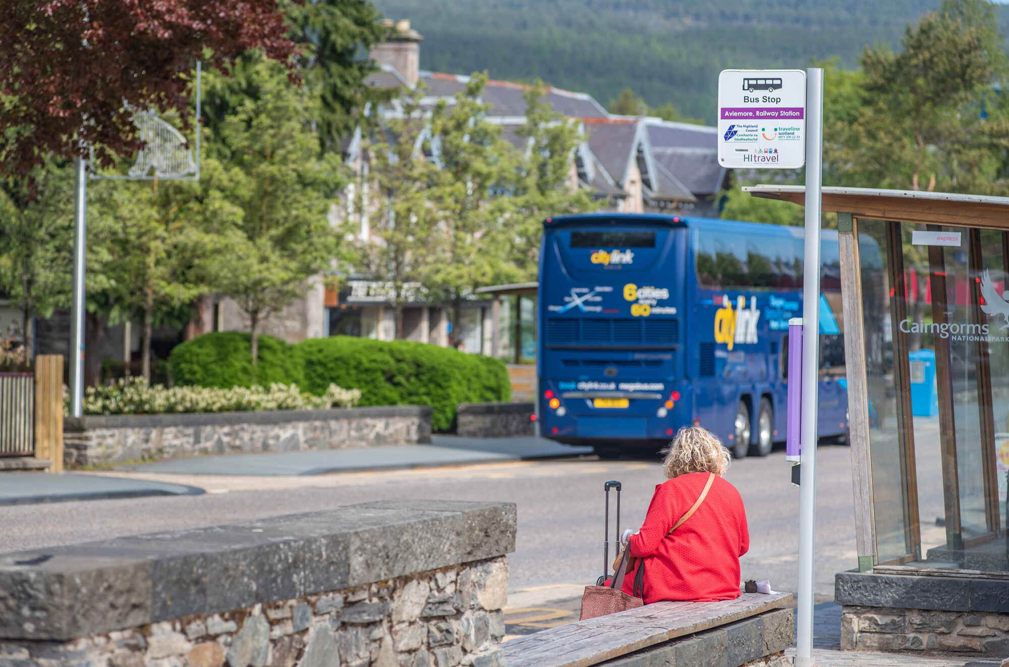
The Cairngorms National Park is the most northerly National Park in the UK, accessible by road, bus, rail and bike. There are active travel options to try too, whether that be walking, using a wheelchair, or cycling, opening up possibilities to explore parts of the National Park you can't reach by car.
Train travel
In the Cairngorms National Park there are train stations at Blair Atholl, Dalwhinnie, Newtonmore, Kingussie, Aviemore and Carrbridge. You can find information on train timetables, where to book tickets, and organise connections through National Rail.
If you're looking for more of an adventure the Strathspey Steam Railway runs between Aviemore, Boat of Garten and Broomhill at Nethy Bridge, giving you the chance to travel to some of the less frequented parts of the National Park.
Bus travel
There are regular bus services into the Cairngorms National Park from London, Edinburgh, Glasgow, Aberdeen and Inverness, as well as local bus services between communities in the National Park, operated by Stagecoach.
The Aviemore Adventurer runs between Aviemore town centre and Cairngorm Mountain seven days a week, with space for bikes and skis, opening up adventures for people who don't have a car, or who want to leave the car at home.
Cycling
Exploring the Cairngorms by bike offers the ultimate feeling of freedom, and with the option to bring bikes on trains, you don't even need access to a car to explore the National Park. Sustrans offer route mapping and advice on National Cycle Routes, to help you know before you go.
The SnowRoads
The SnowRoads scenic route is a 90 mile journey from Blairgowrie to Grantown-on-Spey, following the highest public road in Britain and travelling through the outstanding landscapes of the eastern Cairngorms. The road links the communities of Braemar, Ballater and Tomintoul with a range of natural and cultural attractions.
Along the way three stunning art installations provide opportunities to stop, take a breath and enjoy the wild and beautiful landscapes before you.
Remember this route traverses the highest roads in Britain and it’s called the Snow Roads for good reason! Check the weather forecast and follow any travel warnings.
Traveline Scotland
For directions and an estimate of your journey time visit
Traffic Scotland
Check your journey before you set off for road disruptions and closures