
Peatland restoration planning tool and guide
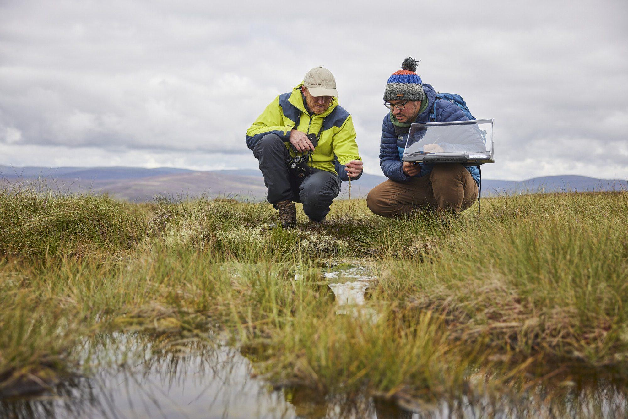
Peatland erosion and drainage is common across Scotland. Often this is historical and its causes are hard to define, however we know that eroded or drained peat accounts for a significant proportion of the carbon emissions arising from Scotland and the UK, so it’s important we remedy this through restoration. This data and interface have been produced as an aid to peatland restoration, providing a tool that enables agencies, land managers and their advisors to target resources and funding where they are most likely to be effective in delivering large scale peatland restoration as rapidly and efficiently as possible.
The dashboard below allows query of the data at different spatial scales including Deer Management Group (DMG), Deer Management Units (DMU), land ownership units, or groupings of these.
A user guide for the dashboard is available here .
The dashboard can be either used in situ in this page or alternatively click on the expansion symbol in the top right of the window below to open it in a new tab (recommended). If dashboard items appear truncated changing the zoom level in the browser window (Ctrl + scroll) can help make content appear correctly.
Dashboard background
Peatland erosion and drainage data for Cairngorms National Park and adjoining land units is presented for exploration, query and download. This is primarily a strategic planning tool and not intended for detailed project design.
Erosion and drainage have been mapped by visual assessment of aerial imagery. A grid-based scoring methodology has been used to give an indication of location and intensity of these features. The methodology used to generate the data can be downloaded here.
The data is presented over a simplified map of the subject area, and the interface is designed for easy visual exploration of features in an area of interest. The map can be zoomed and panned and backdrop data can be changed to suit the viewer’s needs.
Note that DMG boundaries may not fully reflect current boundaries.
The data can be queried in a number of ways:
- Changing the map extent
- Selecting filters in dashboard header
- Selecting filter elements in the summary charts
Please bear in mind this is a large dataset and there may be a lag experienced when the map redraws or filters are applied. Occasionally blocks of data may appear to be missing, zooming in normally rectifies this.
Data download
Data download requires an ArcGIS Online account. If you do not have one through an organisation then a free public account can be set up by following the instructions on the ArcGIS Online help site . Once signed in (user details will appear at the top right) then the Export Data option highlighted below will be shown.
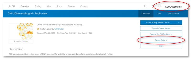
Layer details view showing logged in user and Export Data option
If the login screen shown below is prompted for at any stage then choose the lower option and log in with your AGOL [need to find out what acronym stands for] credentials.
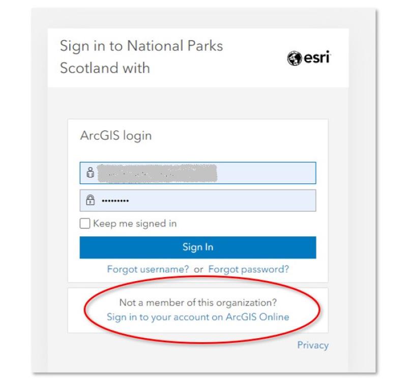
The full dataset can be downloaded here . Clicking on Export Data gives the option to export to a variety of formats including Shapefile, File Geodatabase, KML and GeoJSON.
The gridded erosion and drainage data can be also downloaded via the web app below which allows a subset of the data to be selected using administrative units in the map or an imported shapefile.
Information on how to use the tool can be found in the i button.
The tool can be used either within this page or in a separate tab (recommended) by clicking on the expansion icon in the top right of the window below.
This tool is recommended for use only with subsets of the data. Selecting the whole dataset is likely to cause the web app to crash so the pathway described above should be used when larger areas of data are to be downloaded.
Featured
Things to do
The Cairngorms National Park has plenty to inspire adventures for visitors and residents.
Path closures
Paths and trails may need to be closed from time to time for reasons such as being in an unsafe condition following storm damage, flooding, unavoidable maintenance work or land management operations e.g. tree felling.
What we do
From pioneering conservation projects to community engagement and active travel, find out more about the range of work happening across the National Park.