Core Paths Plan

The Core Paths Plan is a statutory plan, designating a network of paths sufficient to provide reasonable access for the public to enjoy the outdoors across the Cairngorms National Park. This plan helps the Park Authority and its partners to identify investment priorities, support health, wellbeing and the local economy and reduces impacts on land management activities. They link to a much wider path network and beyond.
The core path network provides opportunities for everyone, including walkers, cyclists, horse-riders and paddlers to access the National Park.
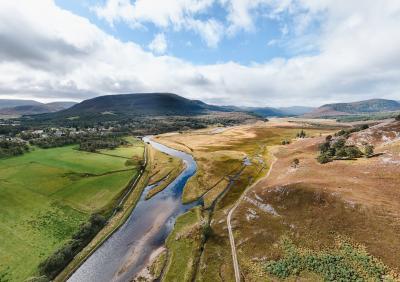
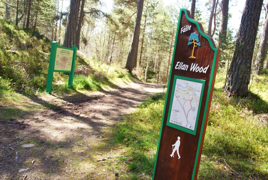
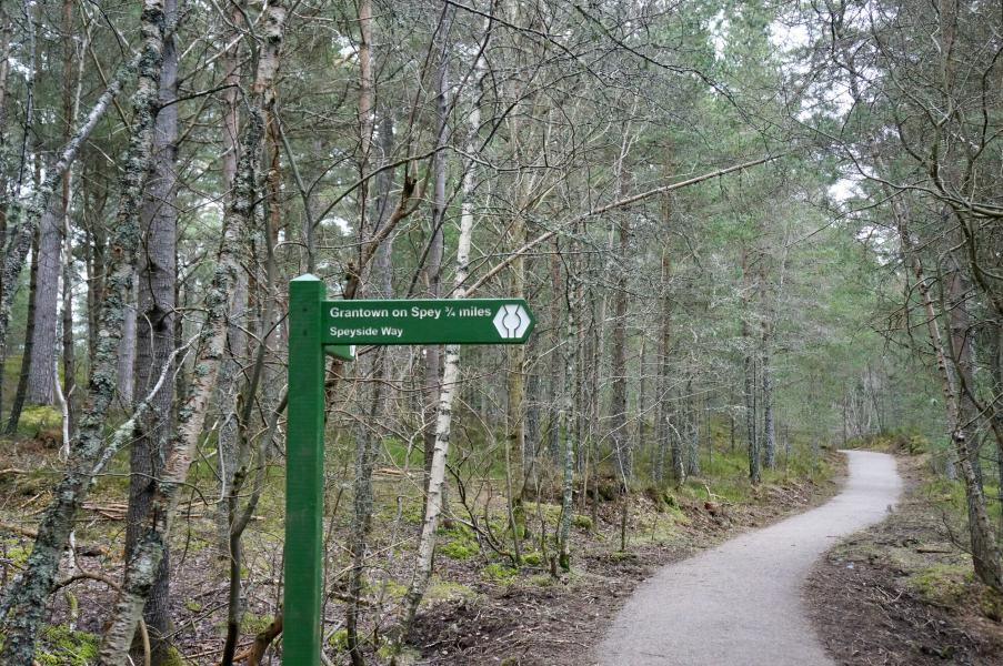
There are over 650 miles of core paths in the Cairngorms National Park. Core paths are signposted at either end with the destination and distance. They vary in type from a grassy path to a tarmacked road, as well as the River Spey, the first river core path in Scotland - there is no minimum standard for the quality of a core path.

Landowners, public agencies and communities can use the Core Paths Plan to manage where people go on their land. It helps take account of recreational needs in development planning, ensure outdoor access needs of all communities are met and incorporated into forestry and other land management activities.
Development and review
Full public engagement and consultation was undertaken in developing the Core Paths Plan, which was adopted in 2010. A revision was published in 2015 and this is currently being reviewed. A formal consultation on the updated Draft Core Paths Plan (2026) is currently underway. Find out more about the core paths plan review here.
Get in touch
For more information on the Core Paths Plan please email [email protected]
-

Date
Ongoing
-

Location
National Park-wide
-

Partnership plan objectives
-

Partners
- Land managers / estates
- Local communities