Upper Dee river and floodplain restoration project
The Upper Dee river and floodplain restoration project aims to restore natural river processes, better connect the river to its floodplain and improve the quality of habitats in the river and on the floodplain. This project is part of our Cairngorms 2030 programme, funded by The National Lottery Heritage Fund, with thanks to National Lottery players.
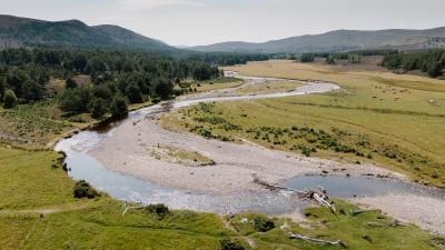
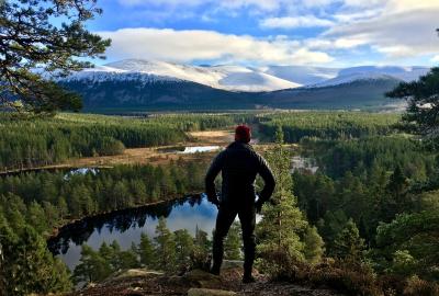
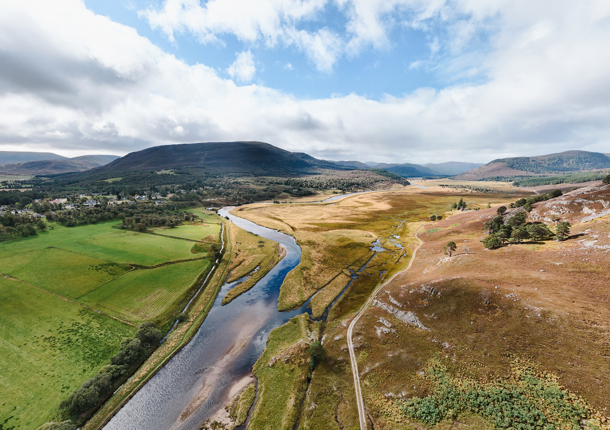
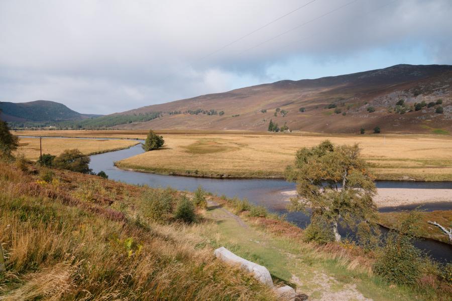
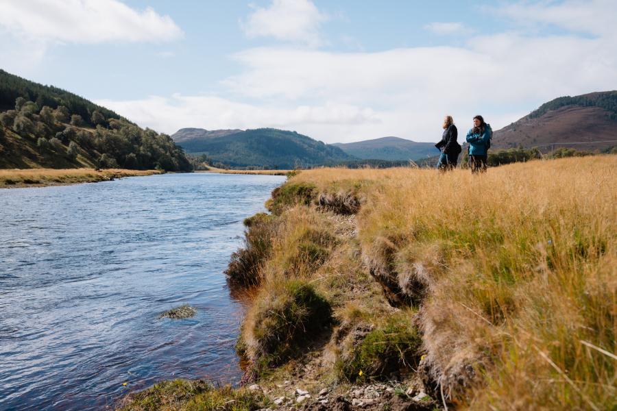
The project site covers the River Dee and the Allan floodplain from just west of Braemar to where the Quoich Water joins the Dee. The site includes 3km of river and 135 hectares of floodplain. The river and floodplain are clearly visible from the road and viewpoints as you leave Braemar and head towards Mar Lodge.
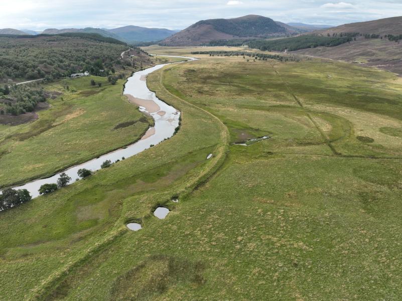
Historic evidence indicates that this area was always prone to extensive flooding. Agricultural improvements were made to the floodplain from the 1700’s onwards. Flood embankments and riverbank protection were built and improved over many years to enable and protect grazing and cropping on the floodplain. No arable farming now takes place and grazing is limited to the drier areas at the west of the floodplain.
The historic flood embankments and riverbank protection have significantly degraded the quality and extent of natural habitats in the area. There is a loss of habitat variety, the river is less connected to its natural floodplain and there is a loss of natural river processes. There is some important wading bird habitat and records of endangered species including Atlantic salmon. However, habitat for these species as well as for many others (e.g., freshwater pearl mussel, otter, water vole, plant communities and invertebrates) could be greatly improved to increase their numbers and the diversity of species present.
In a natural state, gravel bed river floodplains in mountain landscapes provide rich diverse habitats, nutrient cycling and a focus for species interactions. Flooding of the river onto the floodplain serves to reduce flows, reduce energy, deposit sediment and recharge ground water. As well as sustaining varied communities of plants and animals, these processes are highly valuable to people especially in the face of a rapidly changing climate.
The Upper Dee river and floodplain restoration project aims to:
- Restore natural river and floodplain processes
- Better connect the river to its floodplain
- Create and improve the quality of habitats
-

Date
June 2021 - December 2028
-

Location
River Dee and floodplain between the Quoich Water and Braemar
-

Partnership plan objectives
-

Partners
Location
Project proposal and timeline
The project proposes to:
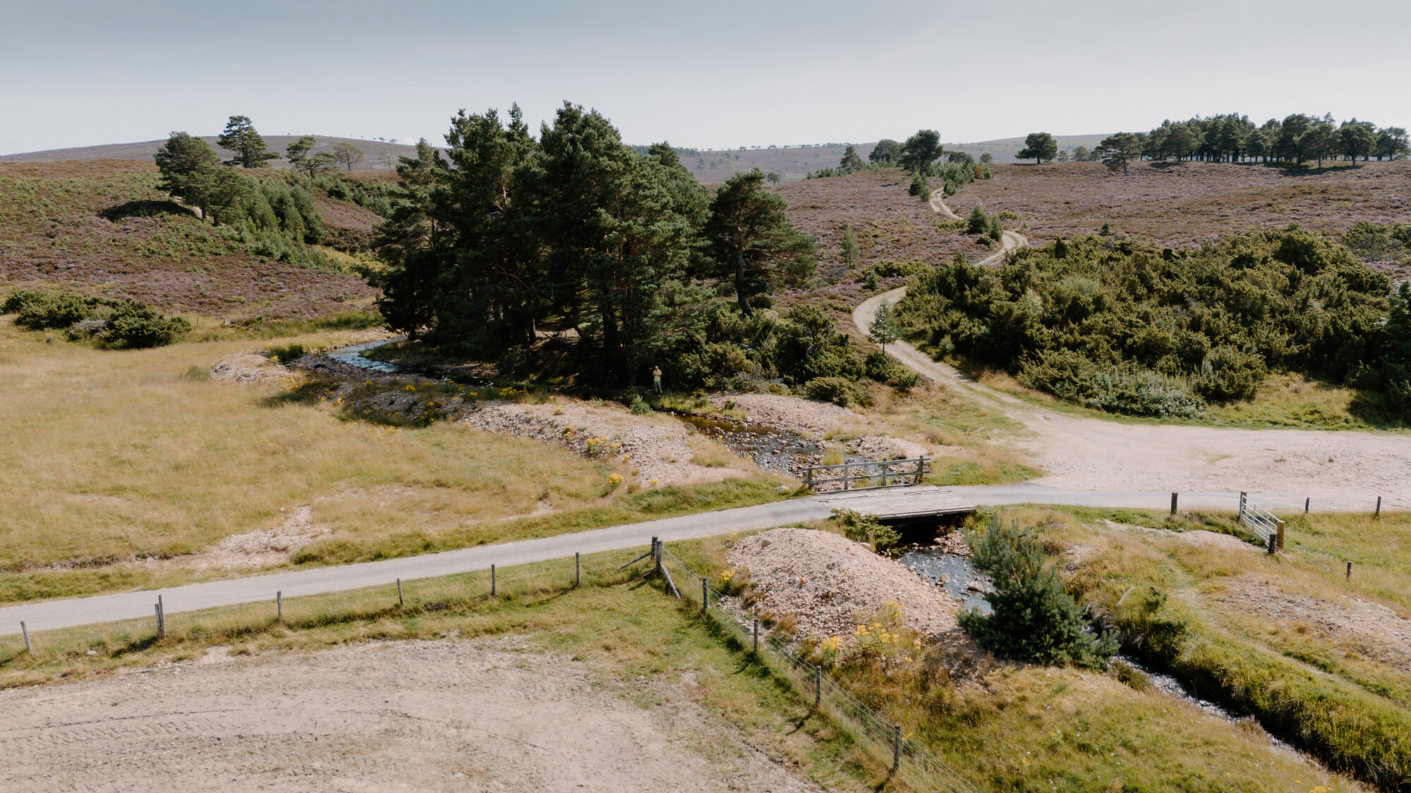
- Remove riverbank engineering to allow the river to change shape and course more naturally.
- Remove a large part of the flood embankment to allow the river to be better connected to the floodplain.
- Kick-start the formation of high-quality habitats including installing large wood structures in the river and creating more wetland features.
- Protect existing good habitat including the grazed grasslands popular with wading birds in the west of the floodplain and the biodiverse ditches in the east of the floodplain.
Documents detailing the design and related information can be downloaded below.
An overview of the project timeline is provided below.
2002 - Preliminary studies and investigations.
2023 - 2024 - Detailed design development.
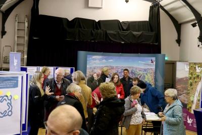
May, September and October 2024 - Community drop-in events.
December 2024 - July 2025 - Planning permission and licencing.
July - October 2026 - Ground works.
2026 - 2028 - Post-works monitoring.
More information
If you have any questions about this project please email [email protected]
Related projects
Slugain Burn restoration project
An overview of the Slugain Burn restoration project, part of the Cairngorms 2030 Climate resilient catchments project.

Climate resilient catchments
We’re restoring and enhancing two iconic rivers that run through the heart of communities in the Cairngorms National Park, the Dee and the Spey.