Slugain Burn restoration project
The Slugain Burn restoration project aims to restore natural river processes, improve habitats and create a low-maintenance and resilient tributary of the River Dulnain. This project is part of the Park Authority’s Cairngorms 2030 programme, funded by The National Lottery Heritage Fund thanks to National Lottery players.
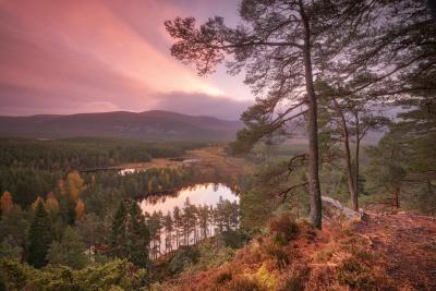
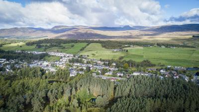
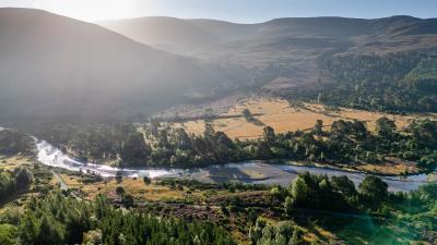
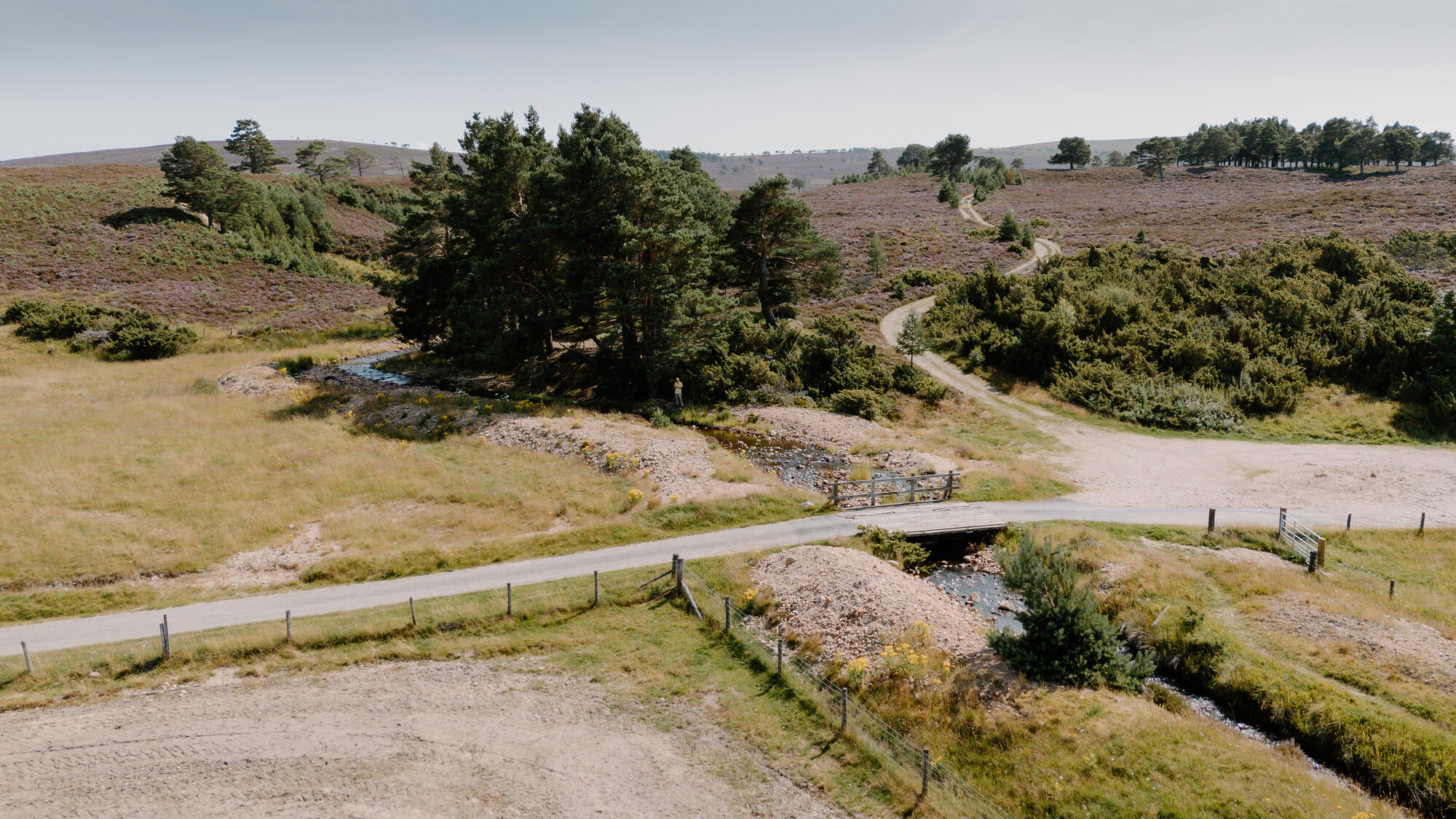
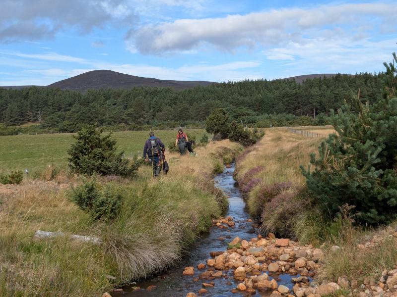
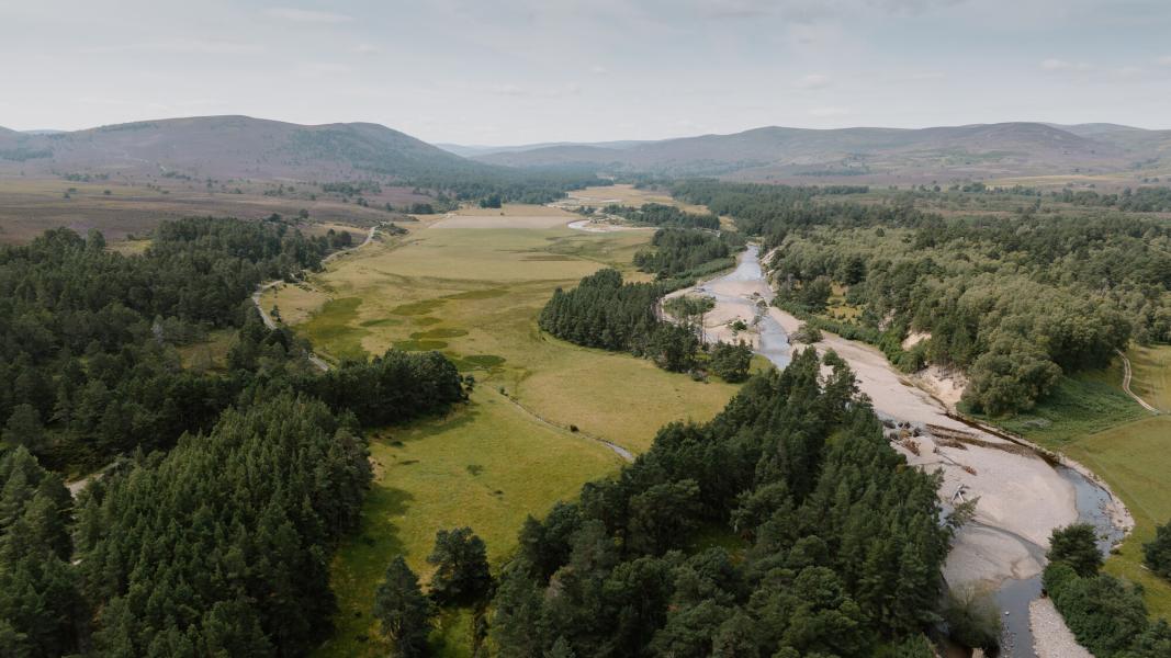
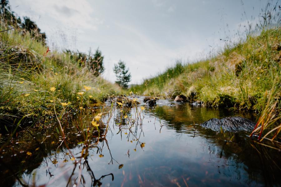
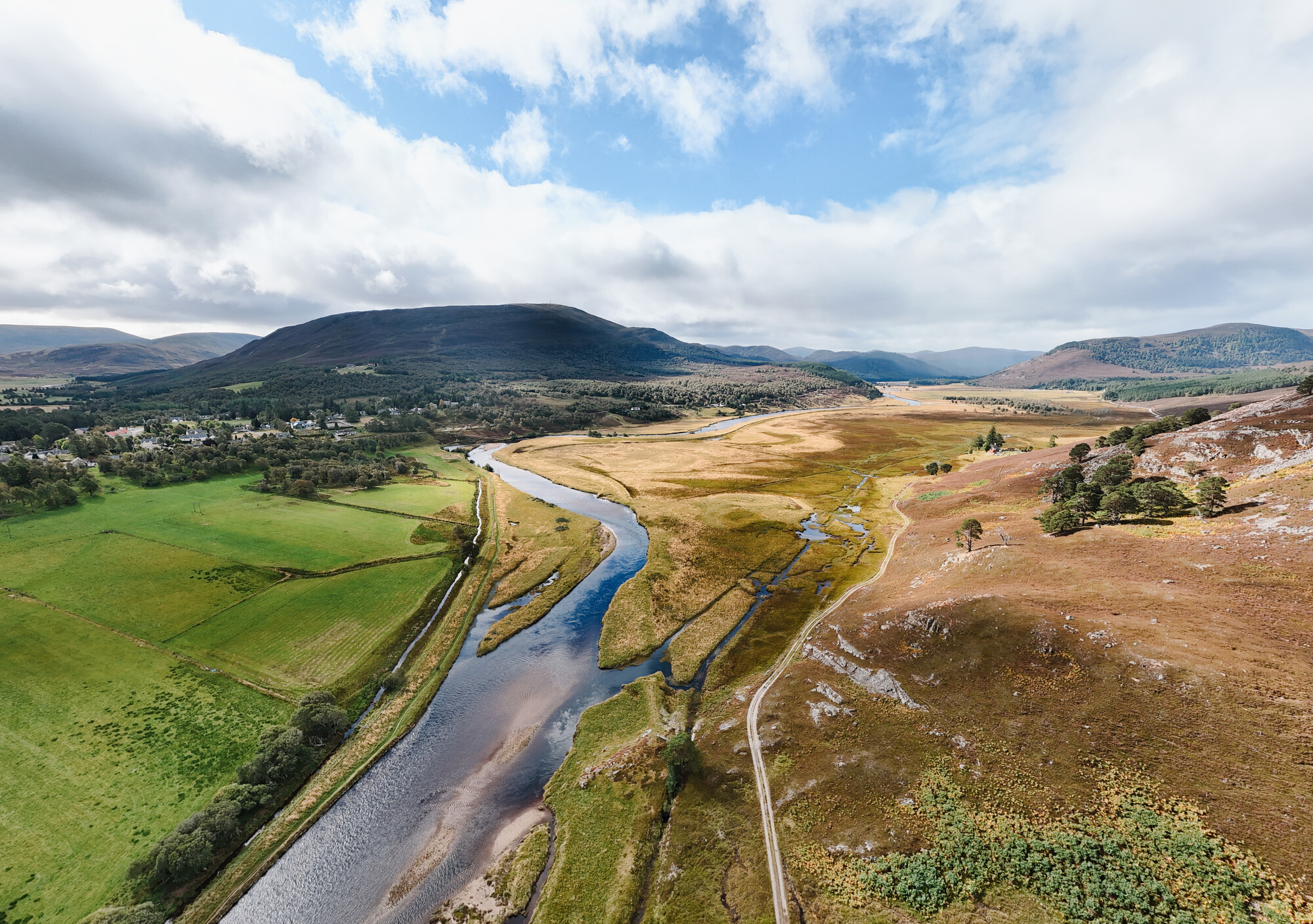
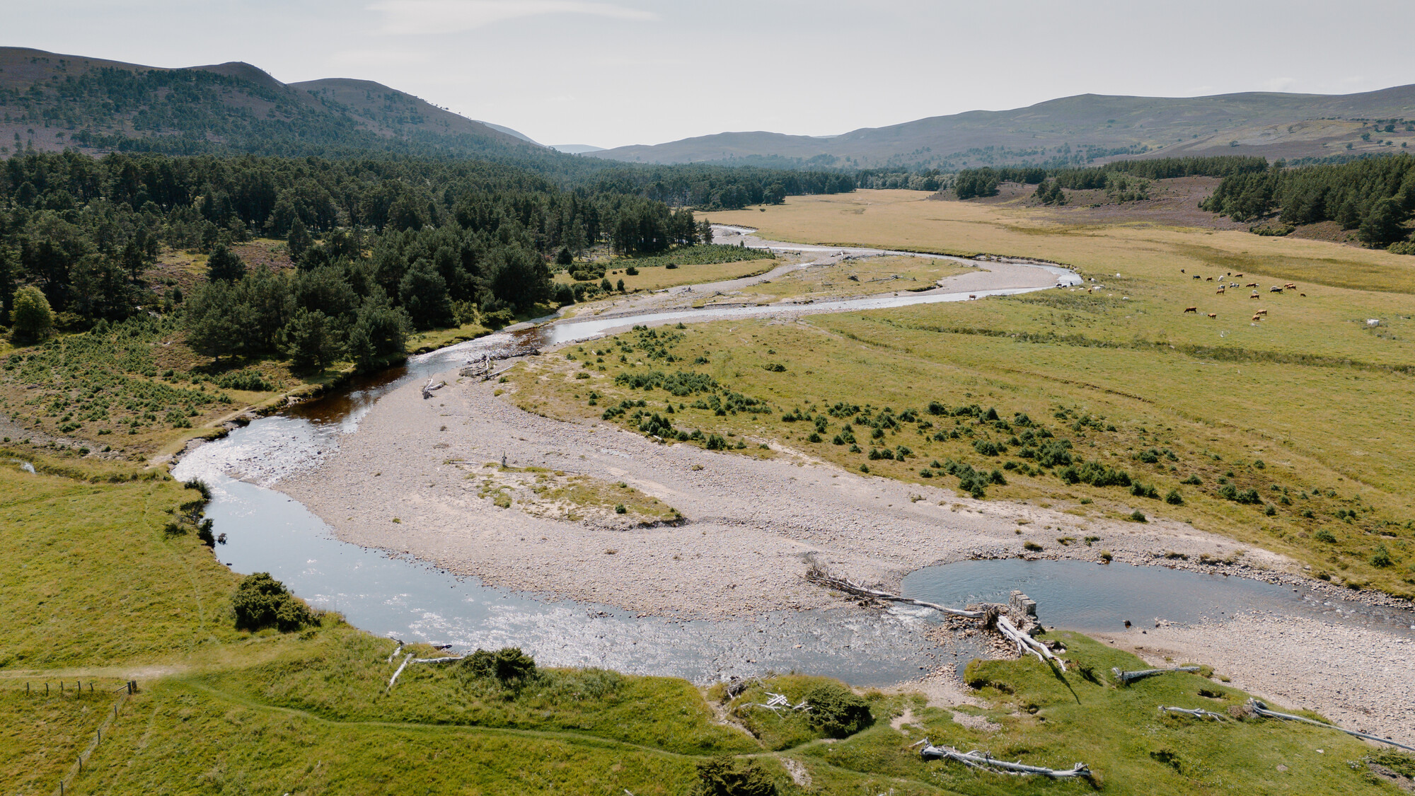
The Slugain Burn (Allt an t‐Slugain Dhuibh) is a tributary of the River Dulnain in the Spey catchment, southwest of Carrbridge. The high energy burn drains an upland moorland catchment (5.4 sq km) and transports a lot of sediment. The burn has been historically (before 1875) straightened and confined by flood embankments where it crosses the Dalnahaitnach floodplain to its confluence with the River Dulnain.
The burn is further restricted where it meets the floodplain by a low clearance bridge which causes water to back up. The burn has breached its eastern bank upstream of the bridge with increasing frequency in recent years, flowing across a minor road and into fields. As a result of this, sediment has been deposited on the field, road, bridge and walkers’ car park, causing access problems for the landowners and recreational users.
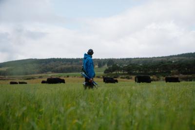
The restrictions on the burn have resulted in a loss of natural processes, disconnection from the floodplain, and a loss of habitat quality and quantity. The burn is part of the River Spey Special Area of Conservation (SAC) for Atlantic salmon, freshwater pearl mussel, otter and sea lamprey. Habitats for these and other species could be greatly improved. The Dalnahaitnach floodplain is popular with breeding farmland wading birds and grazing will be maintained to ensure this continues.
The Slugain Burn restoration project aims to:
- Restore natural river and floodplain processes.
- Increase habitat quantity and quality for a variety of species in the channel and on the floodplain.
- Create a sustainable and low-maintenance watercourse.
- Improve the resilience of the burn crossing.
-

Date
July 2021 - December 2028
-

Location
Dalnahaitnach, near Carrbridge
-

Partnership plan objectives
-

Partners
- The Highland Council
- Spey Fishery Board
- Spey Catchment Initiative
- Reidhaven Trust
- NatureScot
Location
Project proposal and timeline
The project proposes to:
- Realign the burn into a new channel on the floodplain that will follow the course the burn naturally wants to take during flood events.
- Install a new vehicle bridge that minimises restrictions on the burn, allows the burn to follow its new channel and is more resilient to flooding.
- Allow natural processes to develop the watercourse downstream of the bridge so that resilient habitats can form along its 1km length.
Documents detailing the proposed design and related information can be downloaded below.
An outline of the timeline of the project is provided below. The timeline is subject to funding, licensing and permissions being granted:
2022 - 2023 - Feasibility study and options appraisal.
July 2024 - Community drop-in for feasibility study.
June - September 2025 - Outline design development.
October 2025 - Community drop-in for outline design.
September - December 2025 - Detailed design development.
November 2025 - Community drop-in for detailed design.
January - May 2026 - Permissions and licensing.
July - October 2026 - Ground works.
2026 - 2028 - Post-works monitoring.
More information
If you have any questions about this project please email [email protected]
Related projects
Upper Dee river and floodplain restoration project
An overview of the Upper Dee river and floodplain restoration project, part of the Cairngorms 2030 Climate Resilient Catchment project.
Climate resilient catchments
We’re restoring and enhancing two iconic rivers that run through the heart of communities in the Cairngorms National Park, the Dee and the Spey.