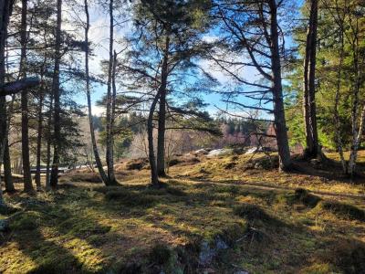
Kingussie paths
Alert
Kingussie comes from the Gaelic placename Ceann a' Ghiùthsaich meaning the head of the pine forest, reflecting its position near the limit of the Caledonian pine woods that once covered much of the Highlands.
The area is steeped in history, justifiably claiming to be the home of shinty and where the old drovers’ roads through Drumochter, Glen Truim and Glen Feshie came together at a ford across the river.
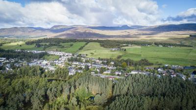
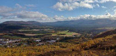
Kingussie has a variety of routes to enjoy, from gentle strolls to stunning hilltop viewpoints walks. Follow the golf course circular for a tour of the village, the birch woodland, past Loch Gynack and the Glen Gynack township, while the West Terrace circular passes the impressive 19th century villas along quiet roadways and up to some impressive views of the Spey valley.
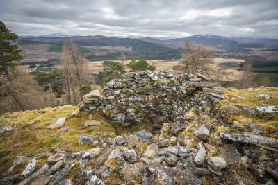
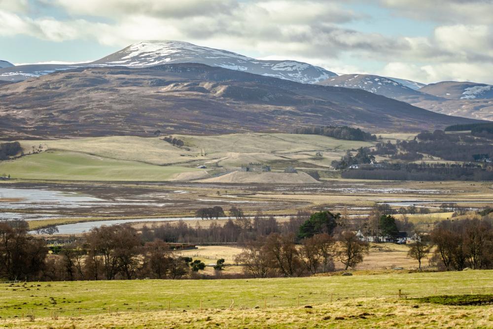
Kingussie and Newtonmore are linked by two paths which give a great option for a longer circular route. The curlew trail crosses open hill offering spectacular views, while the Speyside Way (approximately 2½ miles) offers a quicker alternative route.
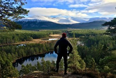
You can also follow the Speyside Way to Ruthven Barracks (about 1 mile) and one of the most important wetland areas in Europe, Insh Marshes Reserve, (1½ miles).
Kingussie comes from the Gaelic placename Ceann a' Ghiùthsaich meaning the head of the pine forest, reflecting its position near the limit of the Caledonian pine woods that once covered much of the Highlands.
The area is steeped in history, justifiably claiming to be the home of shinty and where the old drovers’ roads through Drumochter, Glen Truim and Glen Feshie came together at a ford across the river.
Kingussie has a variety of routes to enjoy, from gentle strolls to stunning hilltop viewpoints walks. Follow the golf course circular for a tour of the village, the birch woodland, past Loch Gynack and the Glen Gynack township, while the West Terrace circular passes the impressive 19th century villas along quiet roadways and up to some impressive views of the Spey valley.
Kingussie and Newtonmore are linked by two paths which give a great option for a longer circular route. The curlew trail crosses open hill offering spectacular views, while the Speyside Way (approximately 2½ miles) offers a quicker alternative route.
You can also follow the Speyside Way to Ruthven Barracks (about 1 mile) and one of the most important wetland areas in Europe, Insh Marshes Reserve, (1½ miles).
Alert
Quick resources
Paths and trails
Need to know
We hope you enjoy exploring the trails around Kingussie, but please do so responsibly. The National Park is a special place with rare wildlife, some of which is sensitive to disturbance. You can help protect the local wildlife by following all signs and keeping dogs close by and on a lead where requested.
Towns and villages
Relevant alerts
-
There is an ongoing wildfire situation at Glenmore within the Cairngorms National Park. Click here for all the latest. We would encourage members of the public to follow current guidance and be aware that the situation may change.
-
Very high fire risk - 15 to 24 July
The Scottish Fire and Rescue Service has issued a very high wildfire warning impacting areas of the National Park on Wednesday 15 until Friday 24 July. If you are out and about in the Cairngorms National Park please observe the following guidance:
- Do not light any fire or barbecue, in line with the new fire byelaw
- Always ensure cigarettes are fully extinguished and take your litter (including glass) away with you
- Enjoy the outdoors responsibly - most wildfires are caused by human activity
- Stay alert - with dry vegetation and warm weather, fires can start easily, spread rapidly, and burn intensely
- If you see a wildfire, dial 999
For further updates on wildfire risk across Scotland, visit the Scottish Fire and Rescue Service website. To find out more about the fire byelaw, and to see your questions answered, visit our fire byelaw page here.