Dalwhinnie paths
Alert
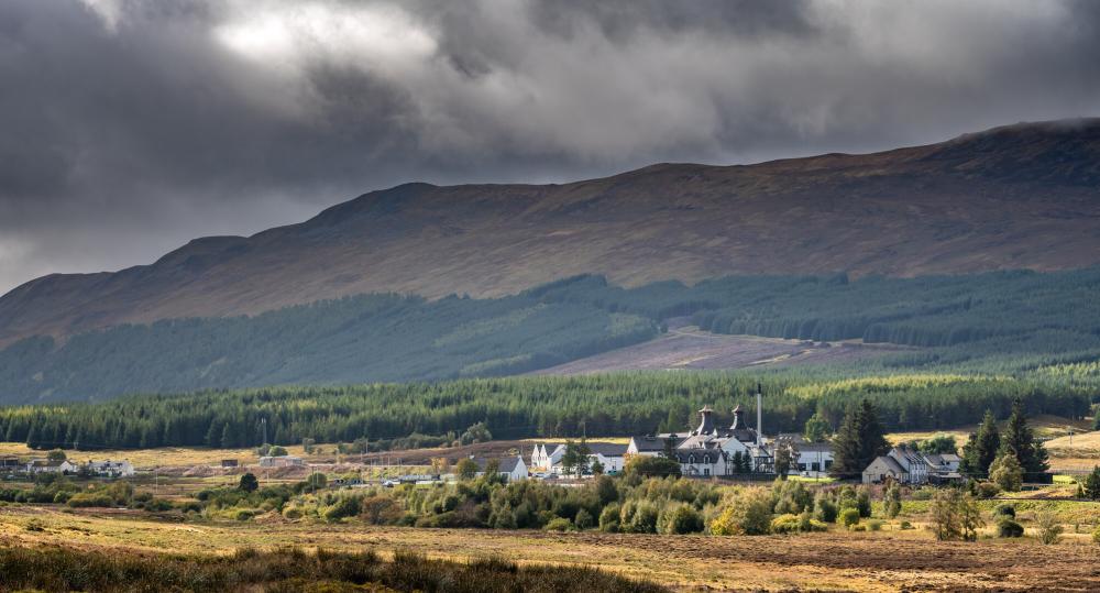
Dalwhinnie from the Gaelic - meadow of the meeting place, refers to the meeting of two historically important cattle drovers' routes where drovers would stop to rest their cattle before beginning the often-difficult crossing over Drumochter pass.
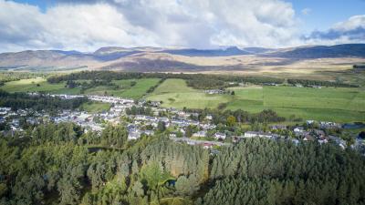
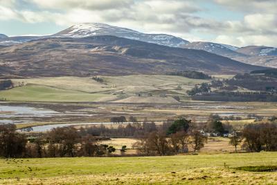
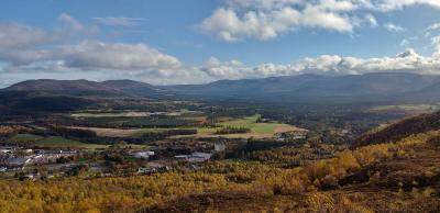
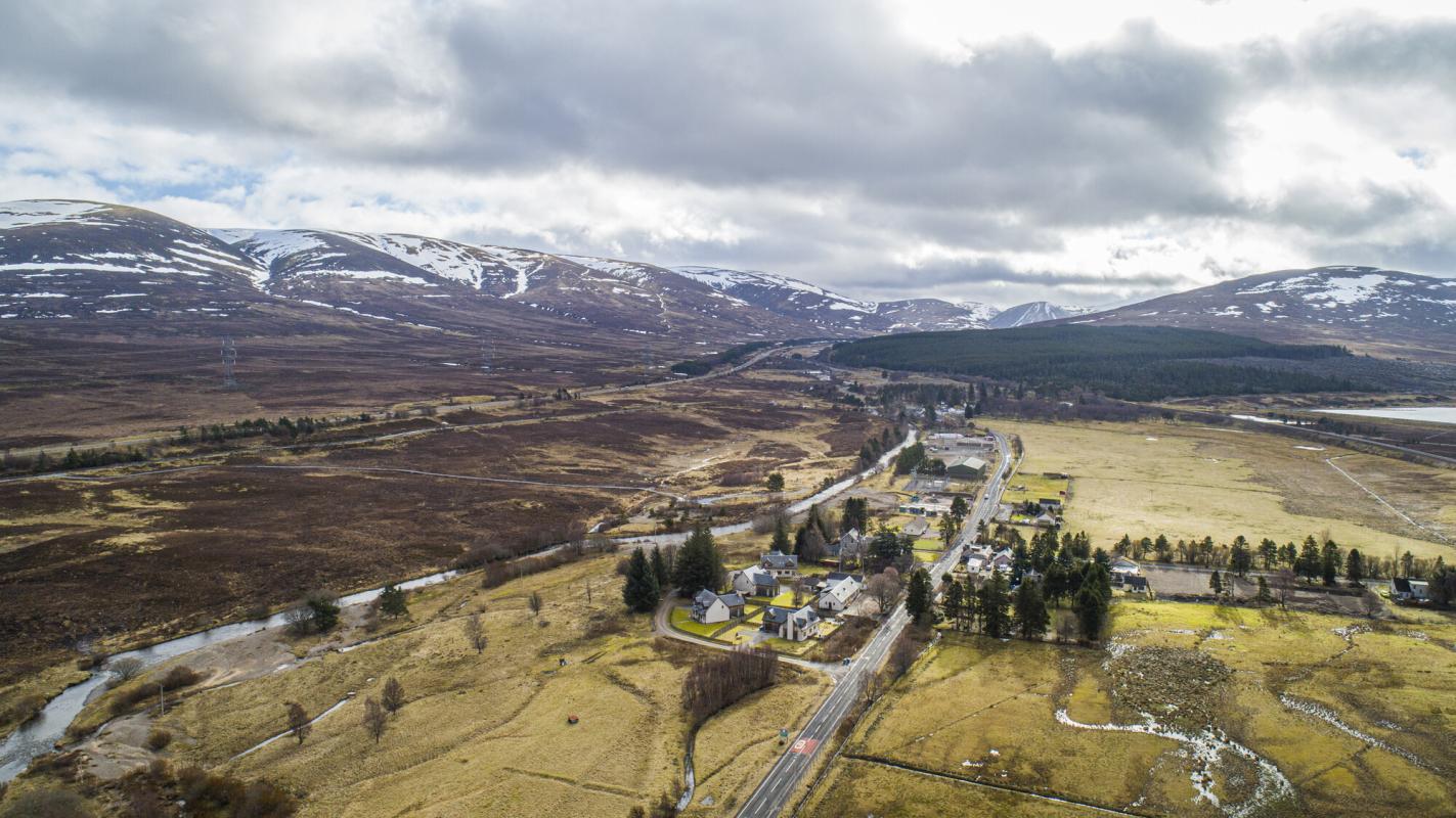
The village lies at the head of Loch Ericht, surrounded by dramatic mountain scenery. Whilst remote, the small hamlet is easily accessible, and with a year-round average temperature of just over six degrees has always prided itself offering a warm welcome to travellers.
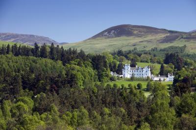
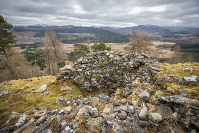
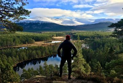
There are four trails that take in the sights of Dalwhinnie; Loch Ericht and the surrounding mountains, the Coachan forest with its viewpoint offering stunning views and the picturesque pagoda-topped distillery.
Dalwhinnie from the Gaelic - meadow of the meeting place, refers to the meeting of two historically important cattle drovers' routes where drovers would stop to rest their cattle before beginning the often-difficult crossing over Drumochter pass.
The village lies at the head of Loch Ericht, surrounded by dramatic mountain scenery. Whilst remote, the small hamlet is easily accessible, and with a year-round average temperature of just over six degrees has always prided itself offering a warm welcome to travellers.
There are four trails that take in the sights of Dalwhinnie; Loch Ericht and the surrounding mountains, the Coachan forest with its viewpoint offering stunning views and the picturesque pagoda-topped distillery.
Alert
Quick resources
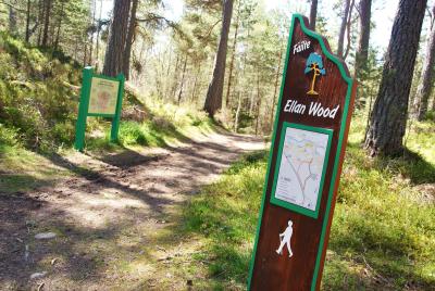
Paths and trails
Need to know
Please note the Ben Alder level crossing at the end of station road is currently CLOSED to the public. This means a diversion to the railway underpass to the south, at Ben Alder cottages, is required to reach the start of the walks.
We hope you enjoy exploring the trails around Dalwhinnie, but please do so responsibly. The National Park is a special place with rare wildlife, some of which is sensitive to disturbance. You can help protect the local wildlife by following all signs and keeping dogs close by and on a lead where requested.
Towns and villages
Relevant alerts
-
There is an ongoing wildfire situation at Glenmore within the Cairngorms National Park. Click here for all the latest. We would encourage members of the public to follow current guidance and be aware that the situation may change.
Due to the this wildfire incident, the following paths and routes are closed:
- All the paths around Loch Morlich, Glenmore and Badaguish are closed.
- The Ryvoan pass is closed, this includes all access to the Green Lochan (Lochan Uaine).
- Routes providing access to Cairngorm Mountain, the Northern Corries, Meall A’Bhuachaille, Strath Nethy and Bynack more should be avoided.
- The Abernethy Forest area to the south of Forest Lodge and towards Ryvoan bothy is closed.
-
The railway level crossing at Dalwhinnie – at the walkers car park NN 633 846 – has been closed by Network Rail. An alternative point to cross the railway is via the underpass to the south at the Ben Alder cottages (NN 634 841). More information.
- Dalwhinnie waymarked walks:
- the Loch Ericht Walk loop is no longer possible due to the level crossing closure
- to reach the start of the Forest Walk and Coachan Wood Viewpoint the above diversion to the railway underpass is required
- Dalwhinnie waymarked walks: