
Flood embankment survey
16 July 2026

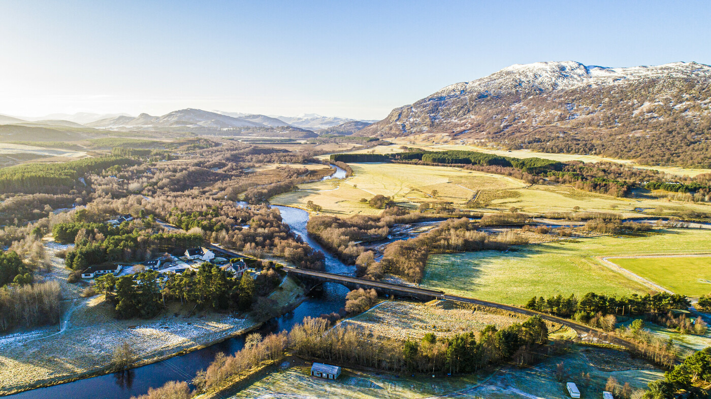
This document contains a report on the first year (2025) of a six-year programme assessing the condition of riverbanks and embankments along the River Spey and its tributaries within the Cairngorms National Park. The programme, commissioned by the Cairngorms National Park Authority, aims to identify areas at risk of erosion or breaching. Findings show that while the total length of riverbanks at risk of erosion increased slightly by about 500 meters since the baseline assessment (2023/24), there's an overall improvement in their condition and stability, with many high and moderate risk areas now showing lower risk. Similarly, the total length of embankments at risk of breaching saw a negligible reduction, and conditions generally improved, leading to a decrease in breach-risk levels across the board. Notably, three previously breached embankment sections between Boat of Garten and Grantown-on-Spey have been repaired and are now considered low risk. The next monitoring survey in September 2026 will continue to focus on high and moderate risk areas, taking into account recent flood events and landowner feedback.
Please be aware that this summary has been generated using AI.
This document contains the results from a condition assessment of the Upper Spey Embankment, comparing baseline data from 2023 and 2024 with the first year of monitoring in 2025. It looks at two main areas: bank erosion risk and the overall embankment condition. The findings show a significant improvement in bank erosion risk, with the total length of bank considered at risk decreasing considerably from the baseline to the first monitoring year. For the general embankment condition, there was also a slight reduction in the total length of embankment identified as being at risk over the same period.
Please be aware that this summary has been generated using AI.
Appendix B - Comparative maps, Area 1, Spey Dam to Kingussie 290126

Appendix C - Comparative maps, Area 2, Kingussie to Aviemore 290126
Appendix D - Comparative maps, Area 3, Boat of Garten to Grantown 290126
This document contains a report from cbec eco-engineering UK Ltd for the Cairngorms National Park Authority, assessing the condition of flood embankments along the River Spey. These embankments mainly protect farmland but are under pressure from river erosion, floodwater movement, and disturbance from animals. Such issues are likely to get worse with climate change. A recent survey of approximately 67 kilometres of the River Spey and its tributaries found that most of the 71.14 kilometres of embankments surveyed (83.6%) were in good condition. However, 1.2% (about 0.87 kilometres) were at high risk of breaking, and 1.6% (about 1.14 kilometres) had already breached, allowing floodwater to pass through. The report recommends actions like planting vegetation by the river, installing fences to reduce animal trampling, conducting a natural flood management study, repairing damaged sections, adding culverts for drainage, and continuing annual monitoring until 2028 to maintain and improve embankment stability.
Please be aware that this summary has been generated using AI.